


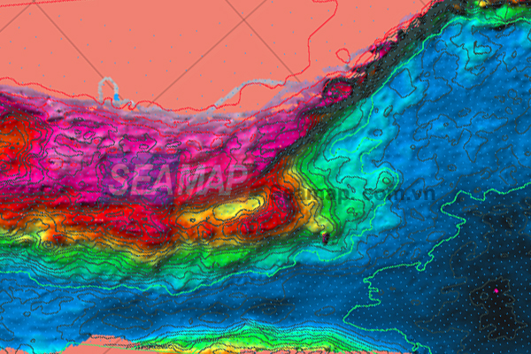
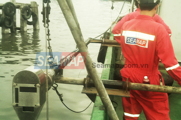
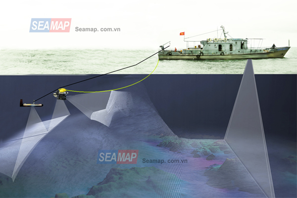
Seamap is fully equipped with hydrographic survey systems including but not limit to single-beam and multi-beam bathymetric systems for 2D and 3D river-bed, lake-floor and seabed topographic survey and mapping at scales varifying depths. Our ability to survey of topography with high accuracy can meet both submarine cable laying, construction and leveling and wharf work. Our services include:
- Seabed topographic mapping using Single-beam and Multi-beam echo-sounding technology at various scales and creating 3D models.
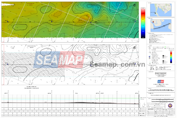
- Hydrographic survey for line works, underground cable routes, chains, pipelines.
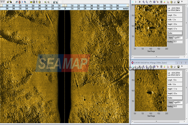
- Surveying the seabed surface using echo sounders (single-beam, multi-beam) and a side-scan sonar ensures optimal accuracy, determines the properties of the seabed, and objects on it.
- Other seabed topographic survey services according to the individual requirements of each customer.