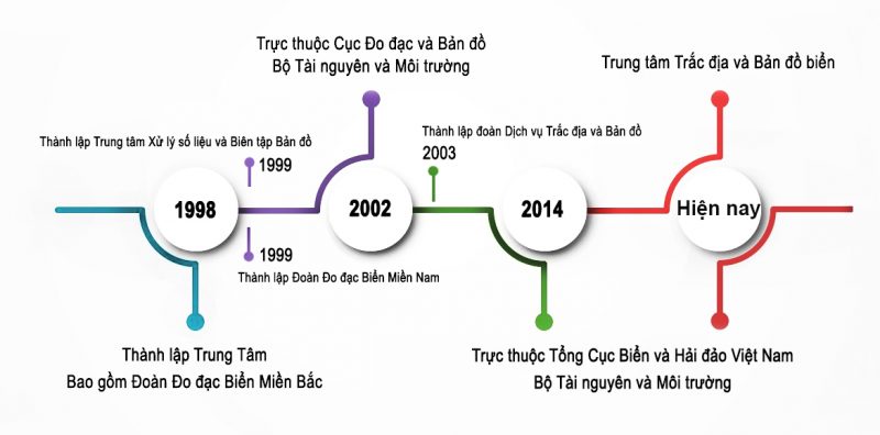
Center for Sea Survey and Mapping (SEAMAP) was established under the Decision No. 502/QĐ-TTg dated June 11, 1998 of Prime Minister. SEAMAP is now under Vietnam Administration of Seas and Islands (VASI) – Ministry of Natural Resources and Environment.
In 2002, the Ministry of Natural Resources and Environment was established. In the process of reorganizing and restructure the organization of the Ministry, the Center for Sea Surveying and Mapping was re-established under the the Department of Surveying and Mapping, followed Decision No. 44 / QĐ-ĐĐDĐ dated 12th March 2003 of the Director General of the Department of Geodesy and Cartography.
In 2008, Seamap was handed over to Vietnam Administration of Seas and Islands. After re-structure.
In eaarly 2023, Seamap was handed over back to the Department of Survey, Mapping and Geographic Information of Vietnam, which functions to assist the General Director of the Department of Geodesy, Cartography and Geophysical Information of Vietnam.
SEAMAP provides a wide range of marine, bathymetric and Geotechnical survey and mapping services, land topographic survey and offshore navigation and positioning services for different purposes, using highly sophisticated technology and skillful engineers.
After more than 27 years of development, SEAMAP has gained significant achievements and is trusted by various well-known clients for the accurate and cost-efficient services.