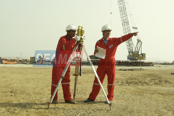
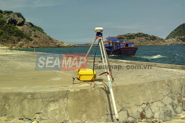
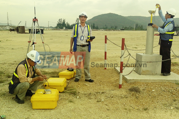
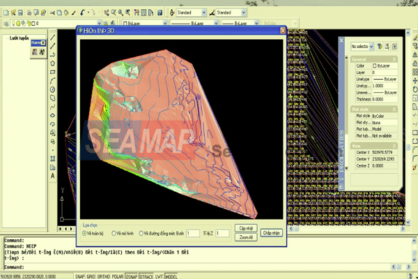
With over 22 years of experience in the field of survey and mapping through government-assigned projects and service ones, Seamap uses the latest technologies to provide customers with survey and mapping services with high-quality such as:
- Establishing a geodetic control network (coordinates, elevation); survey and drawing and cadastral maps on land.
- Survey and mapping at required scales: From 1:10000; 1:5000 to 1:500; 1:200.
- Site survey with high accuracy: For airports, construction sites, traffic, railways, bridges etc.
- Geodetic survey service for leveling and topographical cross-section.
Monitoring deformation, settlement, establishment of digital topographic models.


