


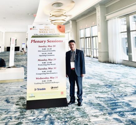
Mr. Duong Quoc Luong – Seamap Director, attended the 2023 FIG Conference in Orlando, Florida, USA.
The purpose, meaning and benefits of the Conference is to create conditions for Vietnamese surveyors to interact with surveyors around the world to exchange experience and learn from each other, especially with young surveyors. Attending the Conference of the World Federation of Geodesy in 2023 in the United States (FIG 2023), the Delegation listened to presentations at the official session and sub-committees on some of the followings:
+ Geospatial information management;
– Collect and manage geospatial data;
– Standards and regulations on the use and dissemination of geospatial data;
– Processing geospatial data, including: Data mining and data recovery according to intelligent intelligence (AI) models;
– Using geospatial data: Cadastral data, smart city, land and urban planning, environmental management;
– Space technology, digital transformation.
+ Hydrology- Flood survey;
– Application of hydrology in the development of a green economy;
– Hydrological data and unified frame of reference;
– Marine environment protection and marine space management.
+ Positioning and measuring- Real-time dynamic positioning;
– Low cost positioning sensor system and application;
– Network connection of GNSS reference stations;+ Technical measurement
– New survey technologies: Total station supporting photography, IoT sensor, Laser scanner, radar/SAR; airborne and underwater unmanned data collection vehicles;- Spatial planning and development;- Digital and geospatial transformation, including: Digital twin, smart solutions,…- Land management tools… In addition, on the sidelines of the Conference, the Delegation worked with the US ESRI Company on the following main contents:+ US company ESRI introduces some contents:- The vision of the US company ESRI, innovation and development trends of geographic information systems (GIS) now and in the future, including:
Integration and management, sharing of data types;
+ Connect to sensor devices around the world;
+ Create digital copies of the world (Digital Twins), webgis;
+ Connect and interact with the community;
+ Geospatial analysis;
+ Setting up a common mapping platform, deploying on electronic cloud; … based on cloud computing technology, artificial intelligence, machine learning and deep learning.
– An overview of geospatial data agencies and infrastructure.- Modernize the technological process of producing geodatabases and maps under a centralized management model, including:
+ Ability to produce geodatabases and maps;
+ Data acquisition and production process;
+ Generalization of geodatabases and maps;
+ The chart production process integrated with the chart by ArcGIS technology.
– Visit the Research Center of the US company ESRI, listen to some advanced solutions of ArcGIS technology, GeoAI geo-artificial intelligence;
Technology for creating 4D maps (inside buildings -Indoors); Manage charts and charts on the website.
+ The two sides exchanged and discussed cooperation directions in the coming time, agreeing to continue promoting cooperation when allowed by the Vietnamese side.
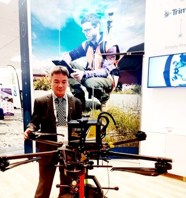
Mr. Duong Quoc Luong – Seamap Director, visited and learned about Trimble’s equipment and technology at ESRI Company- USA.
The fact that Vietnamese scientists can participate in international scientific conferences is a huge effort due to limited funding. The conference is an opportunity for Vietnam to take advantage of the opinions of leading scientists in the world on climate change, sea level rise, coastal zone management, coastal erosion control, etc. heat and difficulty with Vietnamese surveyors. During its working time in the United States, the Mission closely coordinated with relevant agencies and units to ensure absolute security and safety, and to preserve State secrets.
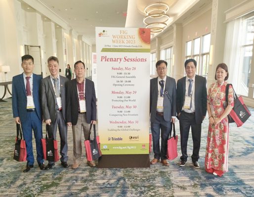
Mr. Duong Quoc Luong and the delegation of the Mapping Department – General Staff of the Vietnam People’s Army attended the 2023 FIG Conference in the United States.
After working, the Center proposed to the Vietnam Department of Survey, Mapping and Geographic Information to allow Seamap to continue to exchange and cooperate with the US ESRI Company on a number of projects on the following basic content:
1. Promote cooperation with ESRI Company of the United States through ESRI Vietnam in the field of geospatial, focusing on the content of building the production process of modern topographic and map databases, for allows rapid production of topographic documents and geographic information to meet the requirements and tasks of the surveying and cartographic industry in Vietnam.
2. Invite experts from the US ESRI Company and the US Geography Department to train and train in geospatial technology; focused on the rapid production of topographic, cartographic and chart data using ArcGIS technology. Funding is guaranteed by Esri Vietnam Company and US Esri Company.
The results of the mission are very important for the Department of Survey, Mapping and Geographic Information of Vietnam to perform well the task of collecting, analyzing and processing geographic information in real time, producing geographic database and maps under a centralized production model, meeting the requirements and tasks of the surveying and cartography industry in the new situation.