


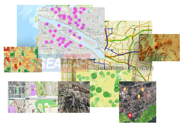
ArcGIS is a geographic information system (GIS) for working with maps and geographic information. It is used for creating and using maps, compiling geographic data, analyzing mapped information, sharing and discovering geographic information, using maps and geographic information in a range of applications, and managing geographic information in a database.
The system provides an infrastructure for making maps and geographic information available throughout an organization, across a community, and openly on the Web.
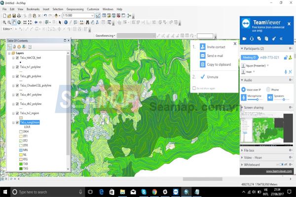
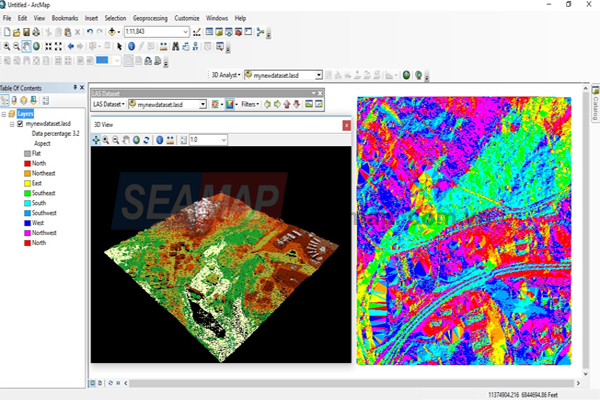
ArcMap and ArcGIS Pro, the two primary desktop applications for GIS professionals, are both part of ArcGIS Desktop. ArcMap and its companion application, ArcCatalog, as well as ArcGlobe and ArcScene, work together to provide a full spectrum of GIS capabilities.