Skip to content
Trung tâm Trắc địa và Bản đồ Biển – SEAMAPTrung tâm Trắc địa và Bản đồ Biển – SEAMAP
  • |
  • HOME
  • INTRODUCTION
    • GENERAL INTRODUCTION
    • FOUNDATION HISTORY
    • ORGANIZATION CHART
    • FUNCTIONS AND TASKS
    • AFFILIATES
  • SERVICES
    • TYPICAL PROJECTS
    • EQUIPMENT
    • SOFTWARE
    • SERVICES
  • NEWS
  • PICTURE STORE
  • CONTACT
  • Seamap Webmail
  • 9
Đánh giá nội bộ và đào tạo nhận thức hệ thống quản lý ISO 9001:2015 và OHSAS trong năm 2018

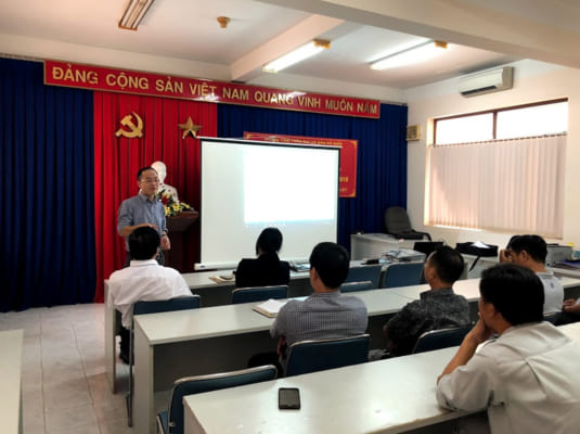
Hệ thống Quản lý tích hợp An toàn – Chất lượng của SEAMAP – Trung tâm

11
Th12
Công ty CREOCEAN Pháp thăm và làm việc

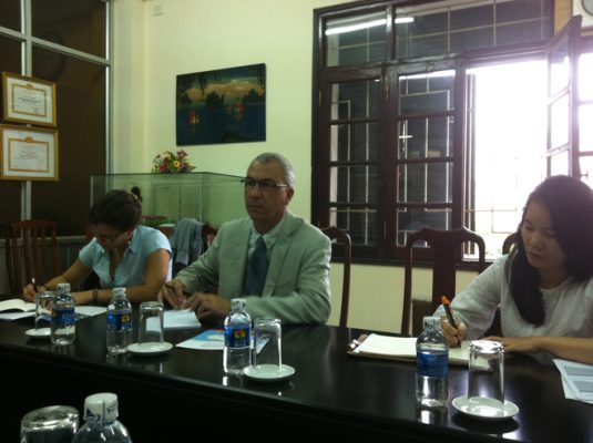
Công ty CREOCEAN Pháp là một công ty tư vấn về quản lý tổng hợp

23
Th7
Danh mục
  • Decisions (6)
  • Equipment (32)
    • Hydrographic Equipment (20)
    • Other Equipment (8)
    • Positioning Equipment (9)
  • Independent Units (4)
  • Introduction (7)
  • Labratory (1)
    • Documents (1)
  • Legal Documents (6)
  • News (34)
    • Activities (2)
    • Activity News (8)
    • Events (7)
    • Hot News (21)
    • Projects (1)
    • Technology (1)
  • Seamap (6)
  • Services (6)
  • Software (7)
  • Typical Projects (14)
    • Site Survey (7)
    • Thành lập Bản đồ (4)
    • Typical Projects (2)
    • USBL underwater positioning (1)
VIDEO TIÊU BIỂU
https://youtu.be/R68s6v7OIMA


CENTER FOR SEA SURVEY AND MAPPING
28 Pham Van Dong R., Dich Vong Hau ward, Cau Giay Dist., Hà Nội.
TL: (+84) +24 37547194
FAX: (+84) +24 37547365
Email: contact@seamap.com.vn
Website: english.seamap.com.vn

DEPENDENT UNITS:
Northern Sea Survey Division
Add: 79 Nguyen Chi Thanh, Dong Đa, HN

Southern Sea Survey Division
Add:  30 Road No. 3, Quarter 4, An Khanh ward, Thu Duc city, HCMC

Survey and Mapping Services Division
Add: 126A Do Luong R., ward 11, Vungtau city

PUBLIC SURVEY SERVICES PROVISION:
Sea surface positioning and navigation
Underwater USBL positioning
Survey and seabed topographic mapping
Bathymetry, Sub-bottom and seabed image scanning for pre-feasibility study, construction, installation, repair, maintenance of offshore topside and underwater structures
Land survey, sinking monitoring and mapping

Follow me!
Share me!
  • |
  • HOME
  • INTRODUCTION
    • GENERAL INTRODUCTION
    • FOUNDATION HISTORY
    • ORGANIZATION CHART
    • FUNCTIONS AND TASKS
    • AFFILIATES
  • SERVICES
    • TYPICAL PROJECTS
    • EQUIPMENT
    • SOFTWARE
    • SERVICES
  • NEWS
  • PICTURE STORE
  • CONTACT