Skip to content
Trung tâm Trắc địa và Bản đồ Biển – SEAMAPTrung tâm Trắc địa và Bản đồ Biển – SEAMAP
  • |
  • HOME
  • INTRODUCTION
    • GENERAL INTRODUCTION
    • FOUNDATION HISTORY
    • ORGANIZATION CHART
    • FUNCTIONS AND TASKS
    • AFFILIATES
  • SERVICES
    • TYPICAL PROJECTS
    • EQUIPMENT
    • SOFTWARE
    • SERVICES
  • NEWS
  • PICTURE STORE
  • CONTACT
  • Seamap Webmail
  • 9

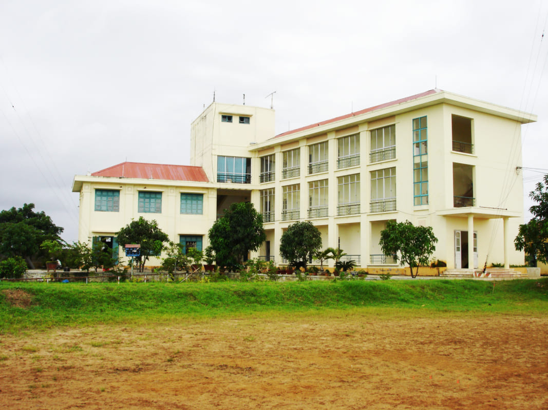
Trạm cải chính DGPS Vũng Tàu - Văn Phòng Seamap tại Vũng Tàu

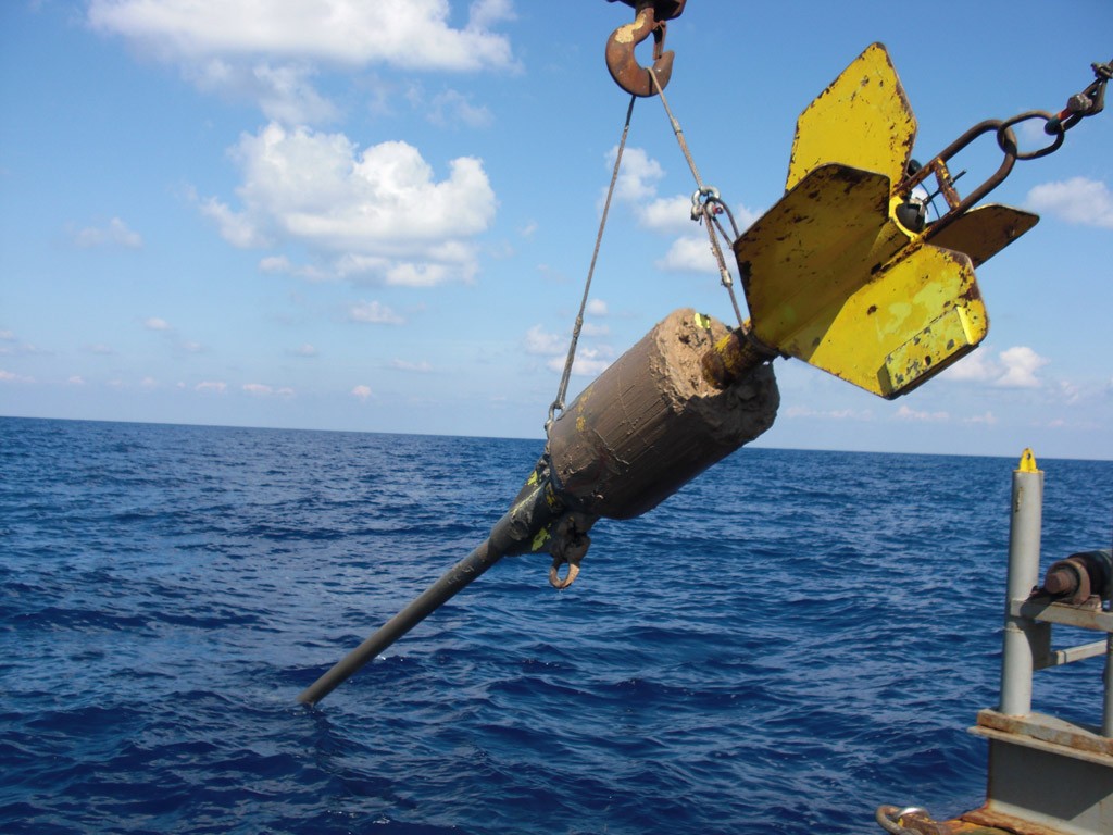
Định vị cho công tác lấy mẫu bằng ống phóng trọng lực trên biển

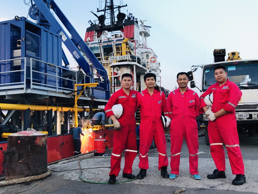
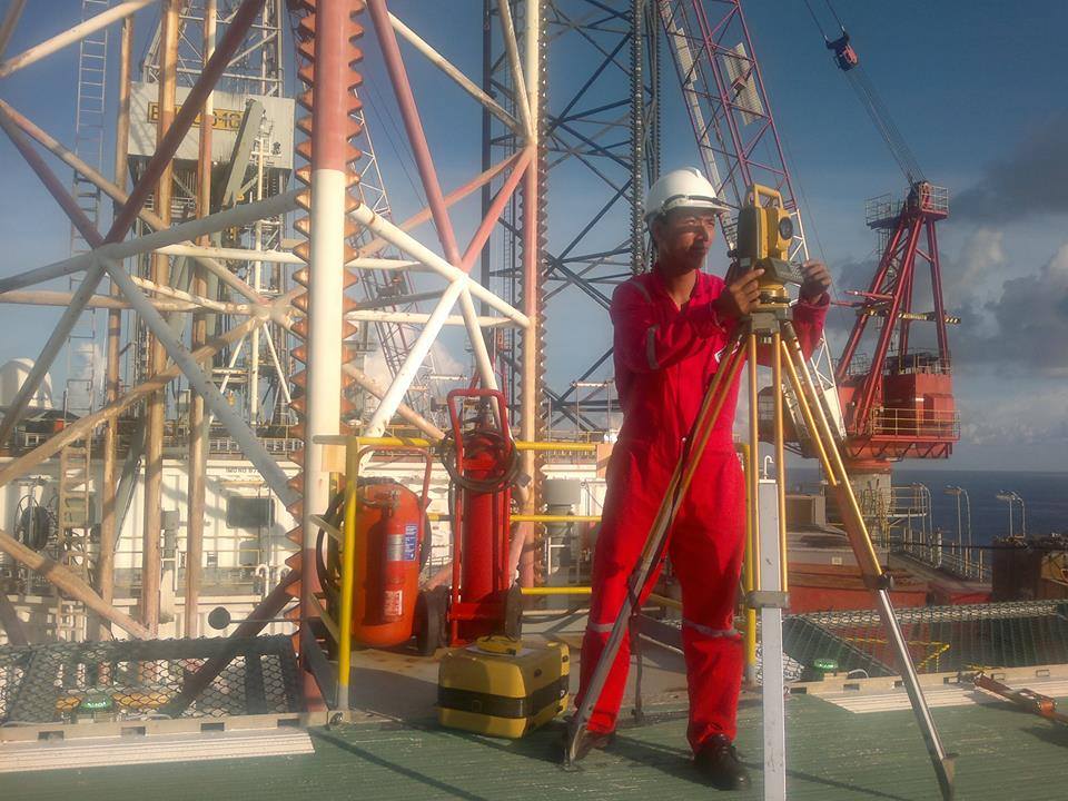
Lắp đặt hệ thống định vị thủy âm cho tàu ROV
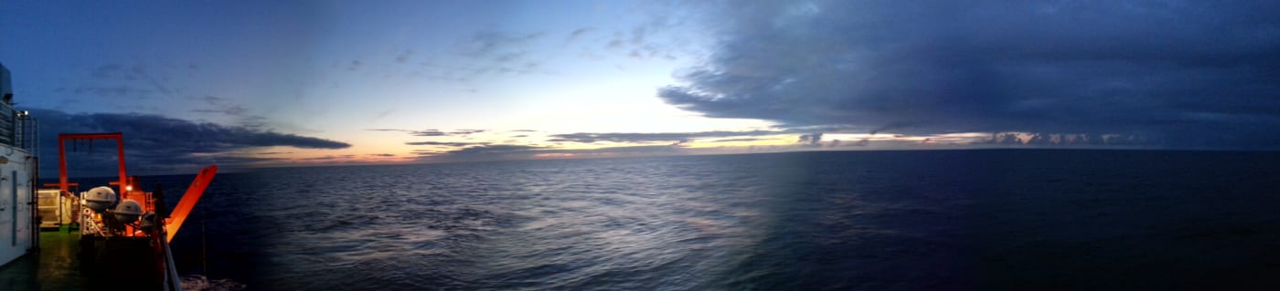
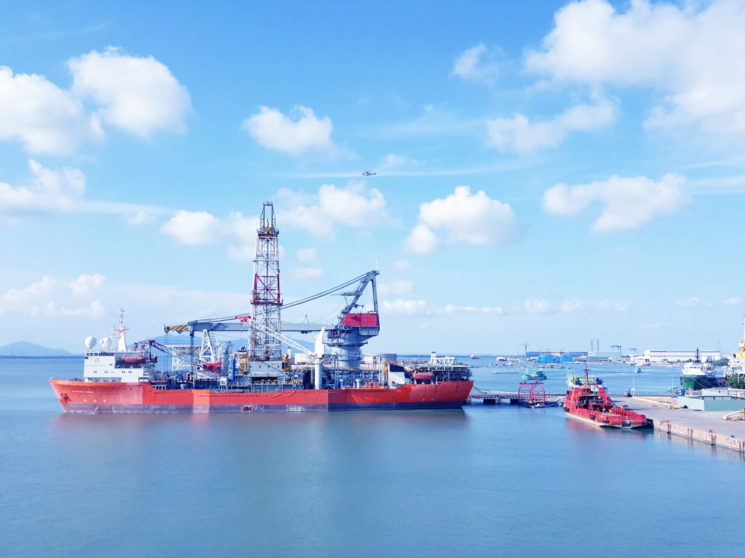
Hoàng hôn trên biển

Lắp đặt hệ thống định vị thủy âm cho ROV

Tàu Đo Đạc Biển 01 thực hiện công tác khảo sát tại Hà Tiên - Phú Quốc

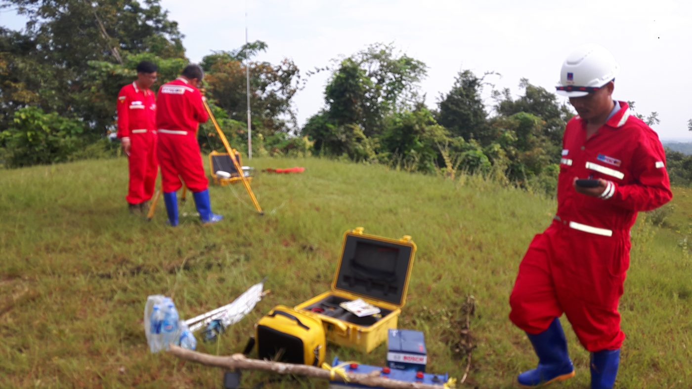
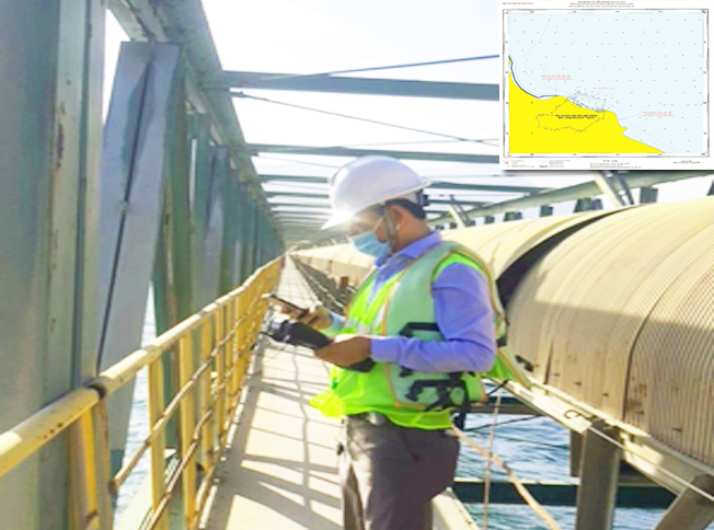
Xác định mốc tọa độ phục vụ khảo sát tại cảng Container Quốc tế - Cái Lân - Quảng Ninh
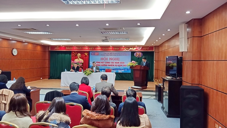
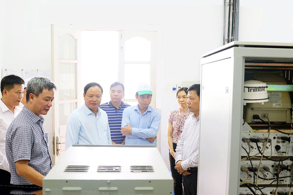
    Danh mục
    • Decisions (6)
    • Equipment (32)
      • Hydrographic Equipment (20)
      • Other Equipment (8)
      • Positioning Equipment (9)
    • Independent Units (4)
    • Introduction (7)
    • Labratory (1)
      • Documents (1)
    • Legal Documents (6)
    • News (35)
      • Activities (2)
      • Activity News (8)
      • Events (7)
      • Hot News (22)
      • Projects (1)
      • Technology (1)
    • Seamap (6)
    • Services (6)
    • Software (7)
    • Typical Projects (14)
      • Site Survey (7)
      • Thành lập Bản đồ (4)
      • Typical Projects (2)
      • USBL underwater positioning (1)
    VIDEO TIÊU BIỂU
    https://youtu.be/R68s6v7OIMA
    VIDEO TIÊU BIỂU
    https://youtu.be/R68s6v7OIMA
    CÁC CHUYÊN MỤC
    • Decisions (6)
    • Equipment (32)
      • Hydrographic Equipment (20)
      • Other Equipment (8)
      • Positioning Equipment (9)
    • Independent Units (4)
    • Introduction (7)
    • Labratory (1)
      • Documents (1)
    • Legal Documents (6)
    • News (35)
      • Activities (2)
      • Activity News (8)
      • Events (7)
      • Hot News (22)
      • Projects (1)
      • Technology (1)
    • Seamap (6)
    • Services (6)
    • Software (7)
    • Typical Projects (14)
      • Site Survey (7)
      • Thành lập Bản đồ (4)
      • Typical Projects (2)
      • USBL underwater positioning (1)
    CÁC BÀI VIẾT MỚI NHẤT
    • 30
      Th12
      SEAMAP has completed the Side Scanning project at the coastal area of An Giang province (formerly Kien Giang province).
    • 23
      Th6
      FIG WORKING WEEK 2023: PROTECTING OUR WORLD, CONQUERING NEW FIELDS Chức năng bình luận bị tắt ở FIG WORKING WEEK 2023: PROTECTING OUR WORLD, CONQUERING NEW FIELDS
    • 12
      Th7
      Application of “3D scanning sonar” new technology to submarine survey Chức năng bình luận bị tắt ở Application of “3D scanning sonar” new technology to submarine survey
    • 28
      Th3
      Seamap invests and develops technology and equipment for cartography in the new era Chức năng bình luận bị tắt ở Seamap invests and develops technology and equipment for cartography in the new era
    • 11
      Th11
      Offshore positioning services reach a new high level Chức năng bình luận bị tắt ở Offshore positioning services reach a new high level
    • 28
      Th10
      Seamap strives to complete the island investigation mission in 2021 Chức năng bình luận bị tắt ở Seamap strives to complete the island investigation mission in 2021
    ĐỐI TÁC - KHÁCH HÀNG
    MỘT SỐ HÌNH ẢNH
    • Robot2english
      YOUR COMPANION AT SEA
    • PROVISION OF OFFSHORE SEA SURVEY
    • FOR BATHEMETRY SURVEY
      YOUR COMPANION AT SEA
    • SEABED TOPOGRAPHIC SURVEY AND MAPPING AT ALL SCALES
      YOUR SASTIFACTION IS YOUR TARGET
    • SURVEY FOR LAYING SUBMARINE POWER CABLES TO ISLANDS
    • YOUR COMPANION AT SEA
      SEA SURVEY BY MODERN TECHNOLIGIES
    • YOUR COMPANION AT SEA
      OFFSHORE POSITIONING AND NAVIGATION
    • USBL UNDERWATER POSITIONING WITH HIGH ACCURACY
    • SUBSEA SURVEY


CENTER FOR SEA SURVEY AND MAPPING
No. 108 Chua Lang Street, Lang ward, Ha Noi city.
TL: (+84) +24 37547194
FAX: (+84) +24 3754736
Website: english.seamap.com.vn

DEPENDENT UNITS:
Northern Sea Survey Division
Add: 79 Nguyen Chi Thanh, Giang Vo, HN

Southern Sea Survey Division
Add:  30 Road No.3, Quarter 24, An Khanh ward, HCMC.

Offshore Engineering Survey Division
Add: 126A Do Luong R., Phuoc Thang ward, HCMC

PUBLIC SURVEY SERVICES PROVISION:
Sea surface positioning and navigation
Underwater USBL positioning
Survey and seabed topographic mapping
Bathymetry, Sub-bottom and seabed image scanning for pre-feasibility study, construction, installation, repair, maintenance of offshore topside and underwater structures
Land survey, sinking monitoring and mapping

Follow me!
Share me!
  • |
  • HOME
  • INTRODUCTION
    • GENERAL INTRODUCTION
    • FOUNDATION HISTORY
    • ORGANIZATION CHART
    • FUNCTIONS AND TASKS
    • AFFILIATES
  • SERVICES
    • TYPICAL PROJECTS
    • EQUIPMENT
    • SOFTWARE
    • SERVICES
  • NEWS
  • PICTURE STORE
  • CONTACT