


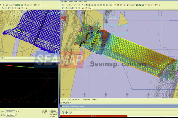
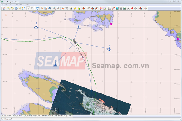
QINSy is a hydrographic data acquisition, navigation and processing software package. The suite of applications can be used for various types of surveys, ranging from simple single beam surveys up to complex offshore construction works.
More than 5000 QINSy licenses have been issued to over 700 companies in 71 countries worldwide and QINSy has a fast growing market share in the offshore oil and gas industry, dredging industry and port communities.
Offered in a number of versions, QINSy is as equally well suited to standard positioning applications as it is suited to highly complex, multi-vessel and subsea vehicle, offshore construction operations.
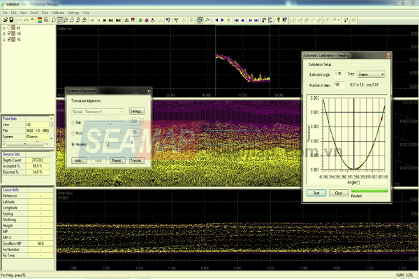
Furthermore, it can be customized with add-on modules like the MBES and SSS addons, plus Remote Display Control.