Skip to content
|
HOME
INTRODUCTION
GENERAL INTRODUCTION
FOUNDATION HISTORY
ORGANIZATION CHART
FUNCTIONS AND TASKS
AFFILIATES
SERVICES
TYPICAL PROJECTS
EQUIPMENT
SOFTWARE
SERVICES
NEWS
PICTURE STORE
CONTACT
Seamap Webmail
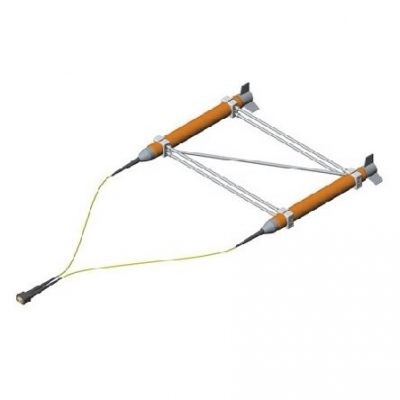
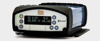
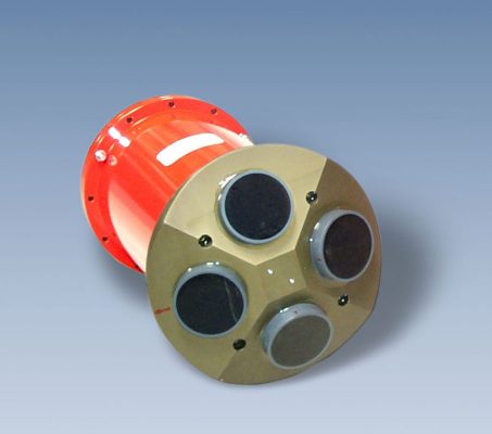
SeaSPY Magnetometer and upgraded Gradiometer
21
Th6
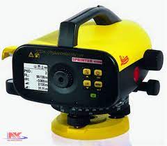
Leica Sprinter 150M Level
21
Th6
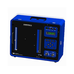
Teledyle Odom SB echo sounder
21
Th6
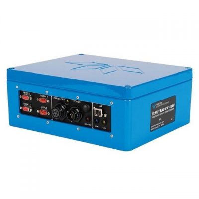
Odom CV100 single beam echo sounder
21
Th6
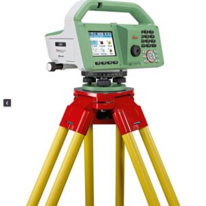
Leica LS10 Level
21
Th6
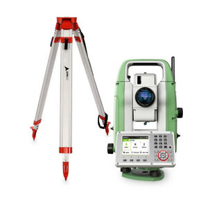
Leica TS07 1″ Total Station
21
Th6
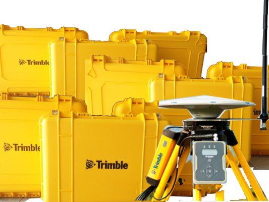
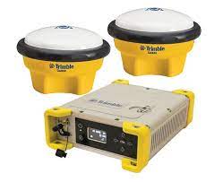
Trimble R8s GNSS
21
Th6
Fugro 9205 GNSS
21
Th6
Trimble GNSS MPS865
21
Th6
Flowquest 1000 Currrent profiler
21
Th6
1
2
3
4
|
HOME
INTRODUCTION
GENERAL INTRODUCTION
FOUNDATION HISTORY
ORGANIZATION CHART
FUNCTIONS AND TASKS
AFFILIATES
SERVICES
TYPICAL PROJECTS
EQUIPMENT
SOFTWARE
SERVICES
NEWS
PICTURE STORE
CONTACT
 |
|